- Aquismón
-
Aquismón
Aquismón 
Escudo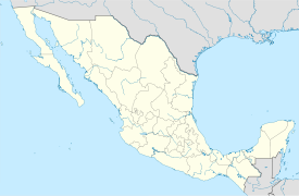

País  México
• Estado: San Luis Potosí • Municipio: Aquismón Ubicación • Altitud 100 msnm Población (2005) 1,895 habitantes[1] Huso horario Tiempo del Centro, UTC -6 Código postal 79760Pref. telefónico 482Aquismón (cuyo nombre significa "Lugar de conchas en un pozo") es un municipio perteneciente al estado de San Luis Potosí en México.
En este municipio se encuentra el "Sótano de las Golondrinas" un abismo de entre 300 a 500 metros de profundidad.
Referencias
- ↑ Instituto Nacional de Estadística y Geografía (ed.): «Principales resultados por localidad 2005 (ITER)» (2005).
Categorías: Localidades de San Luis Potosí | Municipios de San Luis Potosí


Wikimedia foundation. 2010.