- Norumbega
-
Norumbega 
Bandera
Escudo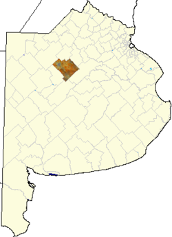
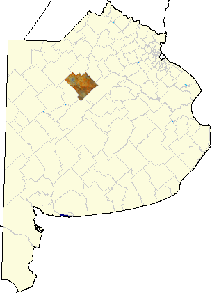
País  Argentina
• Provincia Buenos Aires 
• Departamento Nueve de Julio Ubicación Coordenadas: • Altitud 73 msnm Población 62 hab. (INDEC, 2001) • Crec.intercensal -1,6% % Código postal B6501Pref. telefónico 02317Intendente Walter Roberto Battistella, UCR Inf. oficial IFAM BUE089 Norumbega es una localidad del centro de la Provincia de Buenos Aires, Argentina, perteneciente al partido de Nueve de Julio.
Población
Cuenta con 62 habitantes (INDEC, 2001), lo que representa un descenso del 1,6% frente a los 63 habitantes (INDEC, 1991) del censo anterior
Véase también
- Estación Norumbega
Enlaces externos
Categorías:- Localidades rurales de Buenos Aires
- Partido de Nueve de Julio

Wikimedia foundation. 2010.