- Thackerville (Oklahoma)
-
Thackerville Pueblo de los Estados Unidos 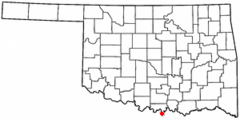
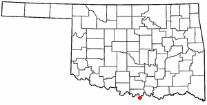
Ubicación en el condado de Love en Oklahoma
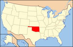
Ubicación de Oklahoma en EE. UU.Entidad Pueblo • País  Estados Unidos
• Estado  Oklahoma
• Condado Love Superficie • Total 5,5 km² • Tierra 5,5 km² • Agua (0%) 0 km² Altitud • Media 264 msnm Población (2010) • Total 445 hab. • Densidad 80,91 hab/km² Huso horario Centro: UTC-6 • en verano UTC-5 Código ZIP 73459 Código de área 580 Thackerville es un pueblo ubicado en el condado de Love en el estado estadounidense de Oklahoma. En el año 2010 tenía una población de 445 habitantes y una densidad poblacional de 80,91 personas por km².[1]
Contenido
Geografía
Thackerville se encuentra ubicado en las coordenadas (33.795874, -97.143677).[2]
Demografía
Según la Oficina del Censo en 2000 los ingresos medios por hogar en la localidad eran de $22,750 y los ingresos medios por familia eran $45,893. Los hombres tenían unos ingresos medios de $29,375 frente a los $18,611 para las mujeres. La renta per cápita para la localidad era de $19,605. Alrededor del 13.5% de la población estaban por debajo del umbral de pobreza.[3]
Referencias
- ↑ «Encuentra un condado» (en inglés). Asociación Nacional de Condados (11 de julio de 2011). Consultado el 11 de julio de 2011.
- ↑ «U.S. Gazetteer: Censo de 2010» (en inglés). Oficina del Censo de los Estados Unidos (16 de febrero de 2011). Consultado el 11 de julio de 2011.
- ↑ «American FactFinder» (en inglés). Oficina del Censo de los Estados Unidos. Consultado el 11 de julio de 2011.
Enlaces externos
 Portal:Oklahoma. Contenido relacionado con Oklahoma.
 Wikimedia Commons alberga contenido multimedia sobre Thackerville (Oklahoma). Commons
Categorías:- Pueblos de Oklahoma
- Localidades del condado de Love

Wikimedia foundation. 2010.