Ordsall

Ordsall
Ordsall
Bandera de Ordsall
Bandera
Escudo de Ordsall
Escudo
Ordsall Hall entire west wing 29 Jan 2009.jpg
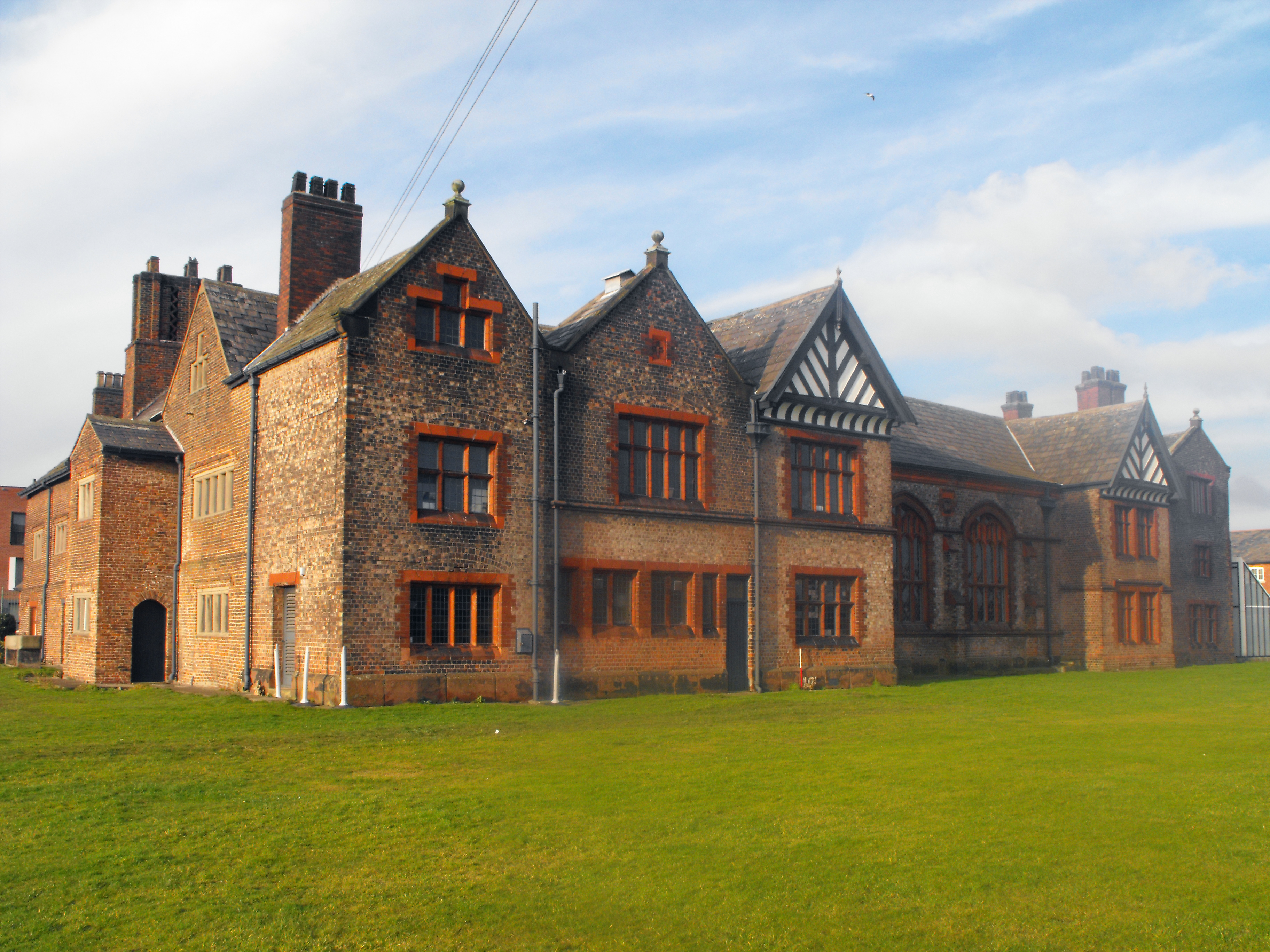
País Reino Unido
• Municipio City of Salford
• Condado Greater Manchester
• Región North West England
Ubicación 53°28′26″N 2°16′41″O / 53.47389, -2.27806Coordenadas: 53°28′26″N 2°16′41″O / 53.47389, -2.27806
Población
Huso horario GMT
Código postal M5

Ordsall es una zona central en el municipio de Salford, en Greater Manchester, Inglaterra. Esta stituada al sur de la A57 cerca del Río Irwell, que es el principal linde con la ciudad de Mánchester. Ordsall esta delimitada al sur por los muelles de Salford (Salford Quays) y el canal naval de Manchester (Manchester Ship Canal), el cual la separa de Stretford y del municipio de Trafford.

Historicamente parte de Lancashire, Ordsall es el lugar de nacimiento de la cadena de transmisión con rodillo libre, inventada en 1880 por el suizo Hans Renold (1852-1943), que emigró a Manchester en 1873.[1]

References


Wikimedia foundation. 2010.

Игры ⚽ Нужно решить контрольную?

Mira otros diccionarios:

  • Ordsall — may refer to more than one place in England: Ordsall, Greater Manchester Ordsall Hall Ordsall, Nottinghamshire Ordsall Hall School This disambiguation page lists articles about distinct geographical locations with the same name. If an …   Wikipedia

  • Ordsall Hall — Ordsall Hall, viewed from Ordsall Lane …   Wikipedia

  • Ordsall Chord — Ordsall Lane Chord redirects here. For the former railway station whose site was nearby, see Ordsall Lane railway station. Ordsall Chord Overview Status Proposed Locale United Kingdom (Greater Manchester North West England) Stat …   Wikipedia

  • Ordsall Hall School — Established 1958 Closed 2003 Headteacher Mr A M Deakin Location Ordsall Road Retford Nottinghamshire DN22 7PL …   Wikipedia

  • Ordsall, Greater Manchester — Coordinates: 53°28′26″N 2°16′41″W / 53.474°N 2.278°W / 53.474; 2.278 …   Wikipedia

  • Ordsall, Nottinghamshire — Coordinates: 53°19′N 0°57′W / 53.31°N 0.95°W / 53.31; 0.95 …   Wikipedia

  • Ordsall Lane railway station — Not to be confused with Ordsall Chord. Ordsall Lane Location Place Ordsall Area Salford Grid reference …   Wikipedia

  • St Clement's Church, Ordsall — St Clement s Church, Ordsall, from the northwest …   Wikipedia

  • Salford — infobox UK place country = England static static image caption=Salford Quays london distance= convert|164|mi|km|0|abbr=on SE latitude= 53.4830 longitude= 2.2931 official name= Salford population= 72,750 (2001 Census) population density= Pop… …   Wikipedia

  • City of Salford — For the individual settlement, see Salford, Greater Manchester. For the local government district in existence from 1926 to 1974, see County Borough of Salford. City of Salford   Metropolitan borough city   …   Wikipedia

Compartir el artículo y extractos

Link directo
Do a right-click on the link above
and select “Copy Link”