Kwai Tsing

Kwai Tsing

El distrito Kwai Tsing (en chino:葵青区, pinyin:Kuí qīng qū,en ingles:Kwai Tsing District). Es uno de los 18 distritos de la ciudad de Hong Kong,República Popular China.Está ubicado casi en la parte central de la isla de Hong Kong. Su área es de 21.8 kilómetros cuadrados y su población es de 525.000 (73% de 15 a 64 años). En 2009 el Puente Stonecutters fue abierto al publico conectando mejor la ciudad.

Desde la Dinastía Ming,este distrito fue construido el 1 de abril de 1988.

Este distrito se compone de dos áreas, la ciudad de Kwai Chung y la isla de Tsing Yi.
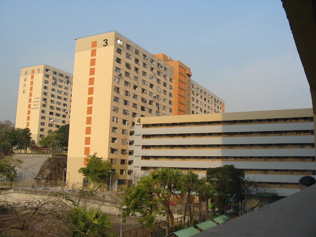
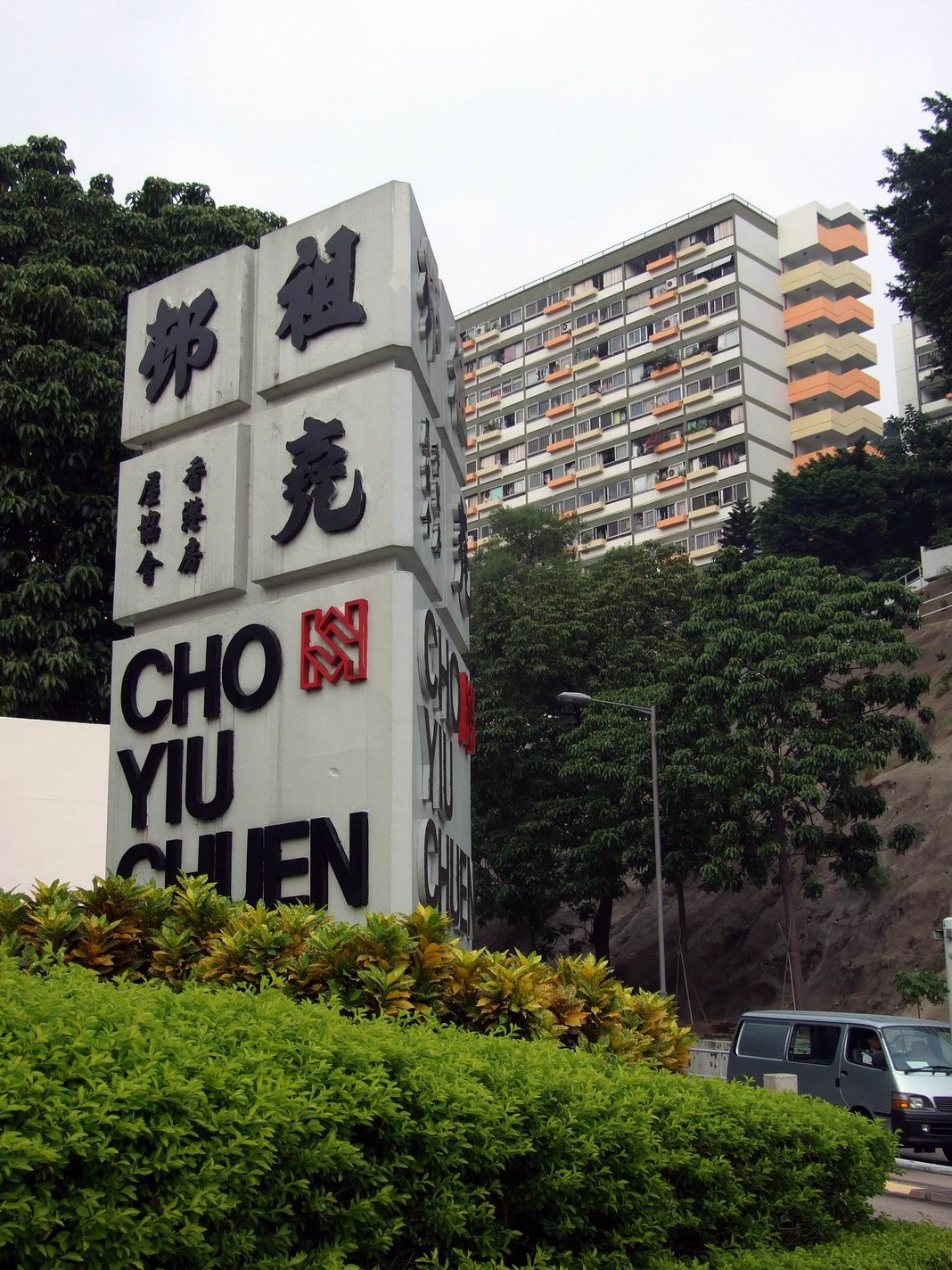
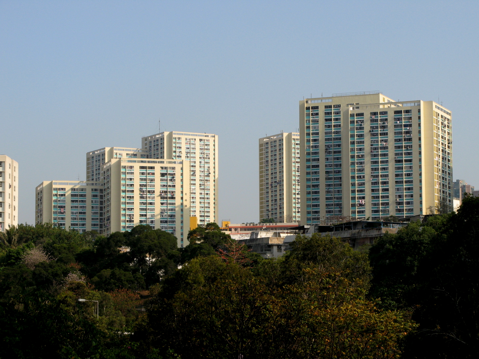
Galería

Referencias

Enlaces externos


Wikimedia foundation. 2010.

Игры ⚽ Нужно решить контрольную?

Mira otros diccionarios:

  • Kwai Tsing — Admin ASC 1 Code Orig. name Kwai Tsing Country and Admin Code HK.NKT HK …   World countries Adminstrative division ASC I-II

  • Kwai Tsing Container Terminals — is the main port facilities in the reclamation along Rambler Channel between Kwai Chung and Tsing Yi Island, Hong Kong. It evolves from 4 berths of Kwai Chung Container Port (Chinese: 葵涌貨櫃碼頭) completed in 1970s. It lat …   Wikipedia

  • Kwai Tsing Interchange — (Chinese: 葵青交匯處) is a road interchange on Kwai Fong in Hong Kong, between the southern industrial area in Kwai Fong and Kwai Chung Park.Kwai Tsing Road and Tsuen Wan Road are crossing at the interchange: * Kwai Tsing Road, a road linking Tsing Yi …   Wikipedia

  • Kwai Tsing District FC — Kwai Tsing District Football Association Ltd (traditional Chinese: 葵青區足球會) is a football team based in Kwai Tsing District of Hong Kong. It is now competing in Hong Kong Second Division League. It finished in sixth place in the 2007 08 Hong Kong… …   Wikipedia

  • Kwai Tsing Theatre — (Chinese: 葵青劇院) is a major performance venue in Kwai Tsing District, New Territories, Hong Kong. It is located in Kwai Fong, near Kwai Fong MTR station. It was built by the Regional Council and opened in November 1999 to provide a medium size… …   Wikipedia

  • Kwai Tsing District — Infobox HK District official name = Kwai Tsing map caption = Location in Hong Kong leader title = District Council Chairman leader name = Chow Yick hay, BBS, JP (D) constituencies = 28 area note = area magnitude = area total = 21.82 area land =… …   Wikipedia

  • Tsing Yi Bridge — (zh tspcy|t=青衣大橋|s=青衣大桥|p=Qīngyī Dàqiáo|cy=ching1 yi1 daai6 kiu4) is the first bridge to Tsing Yi Island of Hong Kong. It crosses Rambler Channel, connecting Tsing Yi Island and Tsing Chau of Kwai Chung. The bridge spans 610 metres (about 2,000… …   Wikipedia

  • Kwai Fong — (zh c|c=葵芳) is an area of Kwai Chung, Hong Kong. The mainly residential area extends to Kwai Hing in the north, Lai King in the south, Tsing Yi Bridge to the west, and Tai Lin Pai Industrial Area to the east. It is part of the reclamation of Gin… …   Wikipedia

  • Tsing Yi Nature Trail — (Chinese: 青衣自然徑), also known as Kwai Tsing Reunification Health Trail is a hiking trail on Tsing Yi Island, Hong Kong.At the highest point, it has a view of Rambler Channel and Ma Wan Channel, with Ting Kau Bridge and Tsing Ma Bridge spanning… …   Wikipedia

  • Tsing Yi Peak — (zh c|c=青衣山, or Tsing I Peak formerly) or Sam Chi Heung (三支香) is a hill with three peaks occupying the southern half of the Tsing Yi Island, Hong Kong. The hill is situated on the western half of Victoria Harbour. Its peaks are good locations to… …   Wikipedia

Compartir el artículo y extractos

Link directo
Do a right-click on the link above
and select “Copy Link”