- Koewarasan
-
Koewarasan 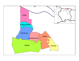
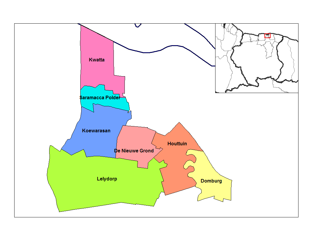
Distrito de Wanica, Koewarasan en azulPaís Surinam 
• Distrito Wanica • Suburbio Koewarasan Ubicación Población 16,161[1] hab. (2004) Huso horario UTC-3 Koewarasan es uno de los siete suburbios, o en neerlandés ressort, en los que se divide el distrito de Wanica en Surinam, se ubica en el centro del distrito.
Limita al norte con el suburbio de Saramacca Polder, al este con el distrito de Paramaribo y el suburbio de De Nieuwe Grond, al sur con el suburbio de Lelydorp y al oeste con el distrito de Saramacca.
En 2004, Koewarasan, según cifras de la Oficina Central de Asuntos Civiles tenía 16,161 habitantes.
Referencias
- ↑ statoids.com. «Datos estadísticos de Koewarasan en Statoids.com» (en inglés). Consultado el 30 de junio de 2010.
Categorías:- Localidades de Surinam
- Suburbios de Surinam
Wikimedia foundation. 2010.